Understanding the July 2025 Kamchatka Earthquake: A Magnitude 8.8 Seismic Event
The magnitude 8.8 earthquake that struck Russia’s Kamchatka Peninsula on July 30, 2025, ranks as the sixth-strongest earthquake in recorded history. Despite its massive scale, the event demonstrated both the devastating power of tectonic forces and the effectiveness of modern earthquake preparedness systems.
Basic Facts About the Kamchatka Earthquake
The earthquake occurred at 11:24 local time (06:10 UTC), approximately 119 kilometers east-southeast of Petropavlovsk-Kamchatsky. Initial magnitude readings started at 8.0 but were revised upward to 8.8 as seismological data from global monitoring stations provided more complete measurements.
The duration of ground shaking lasted nearly four minutes (230 seconds), indicating a massive rupture along hundreds of kilometers of fault line. This extended shaking period reflects the enormous scale of crustal displacement that occurred beneath the Pacific Ocean.
Tectonic Forces Behind the Earthquake
The Kamchatka Peninsula sits within the Pacific Ring of Fire, where the Pacific Plate subducts beneath the North American Plate at approximately 76-90 millimeters per year. This slow but relentless movement builds enormous stress over decades and centuries.
The July earthquake occurred in a seismic gap between major historical earthquakes in 1923 and 1952. These gaps represent areas where tectonic stress has accumulated without recent major releases, making them prime candidates for future large earthquakes.
The subduction process involves oceanic crust being forced beneath continental crust, creating the conditions for megathrust earthquakes. When locked sections of the fault suddenly slip, they release energy equivalent to thousands of nuclear weapons.
Tsunami Generation and Pacific-Wide Impact
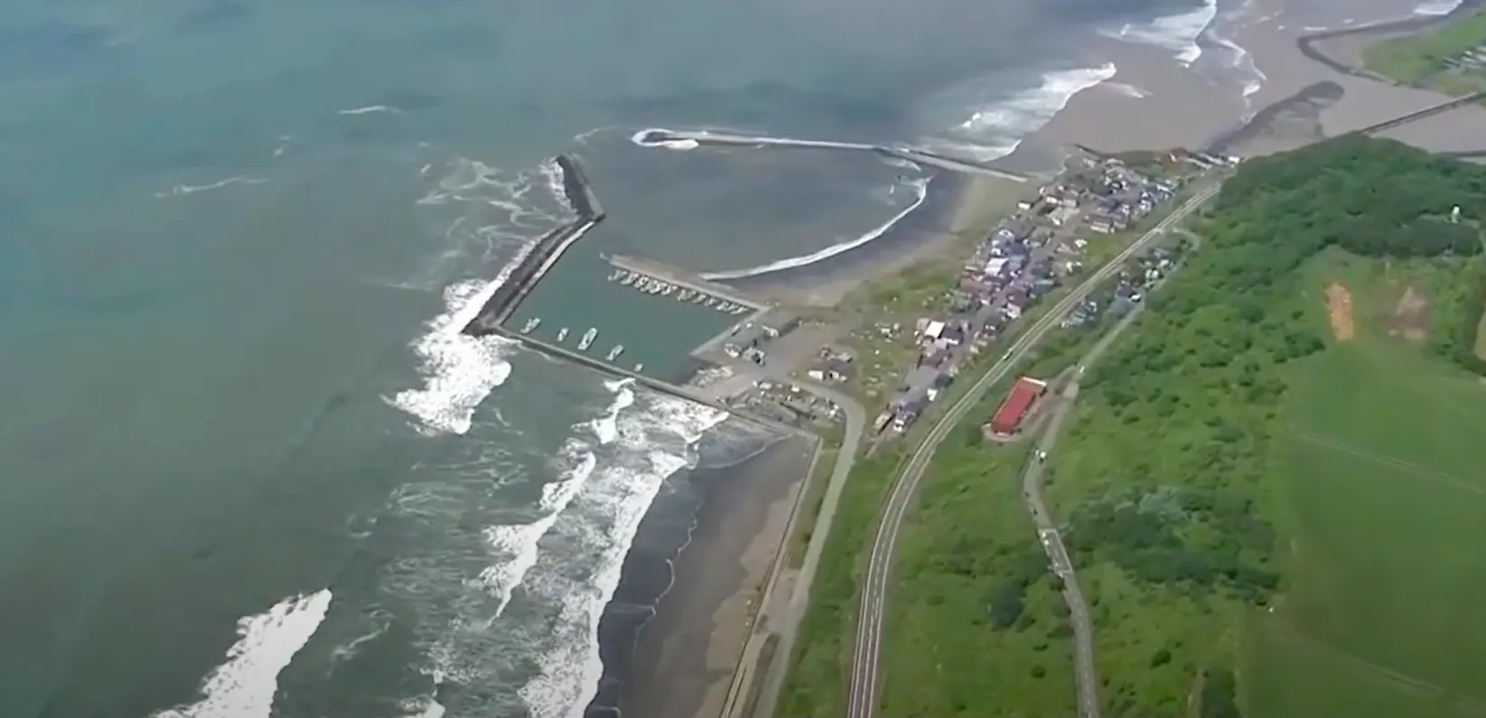
Despite the earthquake’s magnitude, the resulting tsunami was smaller than expected. Wave heights reached 4-5 meters in Severo-Kurilsk, while Japan experienced waves of 0.3 to 1.3 meters, and California recorded approximately 1.6 feet in Arena Cove.
Tsunami generation depends on multiple factors beyond earthquake magnitude, including seafloor displacement patterns, fault rupture geometry, and underwater topography. The Pacific Ocean’s vast size also affects how tsunami energy spreads and focuses across different coastlines.
Over 2 million people were evacuated across the Pacific Basin as a precautionary measure. While this massive response prevented casualties, it highlighted the challenges of tsunami warning systems that must balance public safety with economic disruption.
Ground Effects and Regional Response
In Petropavlovsk-Kamchatsky, the earthquake caused building damage and infrastructure problems, including collapsed ceiling panels at Yelizovo Airport. Russian authorities declared a regional emergency and evacuated approximately 2,700 residents from high-risk areas.
Remarkably, no direct earthquake fatalities occurred in Russia, though evacuation-related injuries included one traffic fatality in Japan. This low casualty count reflects both the region’s sparse population and decades of earthquake preparedness measures.
The regional emergency response demonstrated the effectiveness of modern seismic monitoring and evacuation procedures, particularly in areas accustomed to frequent seismic activity.
Aftershock Patterns and Ongoing Seismic Activity
Within 24 hours of the main event, twenty-four aftershocks above magnitude 5.0 occurred, including a 6.9 and 6.3 magnitude earthquake. The USGS predicted a 51% probability of at least one magnitude 7+ aftershock within the following week.
Aftershock sequences can continue for months or years following major earthquakes. These ongoing events represent the Earth’s crust adjusting to the new stress distribution created by the initial rupture.
The aftershock pattern provides valuable scientific data about fault geometry and stress transfer processes, helping seismologists understand how large earthquakes influence surrounding geological structures.
Volcanic Activity and Geological Connections
Klyuchevskaya Sopka volcano began erupting on July 30th, the same day as the earthquake. The eruption produced lava flows down the western slope and created a visible glow in the night sky.
This timing illustrates the interconnected nature of seismic and volcanic systems in subduction zones. While the earthquake may not have directly triggered the eruption, both phenomena result from the same underlying tectonic processes.
The Kamchatka Peninsula hosts numerous active volcanoes, making it one of the most geologically dynamic regions on Earth. Understanding these connections helps scientists assess regional hazards more comprehensively.
Historical Context and Seismic Risk Assessment
The 2025 Kamchatka earthquake joins an exclusive group of magnitude 8.8+ earthquakes, including the 2011 Tohoku (9.0), 2004 Indian Ocean (9.1), and 1964 Alaska (9.2) events. Each magnitude increase represents approximately 32 times more energy release.
These megathrust earthquakes follow patterns that scientists are still working to understand. The stress redistribution from large earthquakes affects regional seismic hazards for decades, potentially increasing or decreasing earthquake probabilities in surrounding areas.
Seismic gaps along the Kuril-Kamchatka subduction zone remain areas of concern for future large earthquakes. Continuous GPS monitoring and seismological research help identify these high-risk zones.
Scientific Value and Future Preparedness
The earthquake generated unprecedented amounts of seismic data from global monitoring networks. This information will improve understanding of megathrust earthquake processes and help refine tsunami warning systems.
The relatively modest tsunami from such a large earthquake challenges existing models and will lead to improved hazard assessment methods. Deep-ocean pressure sensors and coastal monitoring systems provided real-time data that proved invaluable for emergency response.
Long-term studies of this earthquake will contribute to better building codes, evacuation procedures, and risk assessment tools. Each major seismic event provides opportunities to improve preparedness for future earthquakes.
📌 Did You Know?
- The earthquake’s 230-second duration is equivalent to holding your breath for nearly four minutes
- Tectonic plates move at roughly the same speed as fingernail growth (76-90mm per year)
- Seismic gaps between historical earthquakes often indicate future earthquake locations
- The Pacific Ring of Fire hosts 90% of the world’s earthquakes and 75% of active volcanoes
- Tsunami energy doesn’t spread evenly across oceans due to underwater topography effects
An article with the valuable information which is easily comprehensible and written at right moment